RigidAero™ — The Eyes

Aerial photogrammetry, ground-based structured-light scanning, site surveys, and spatial intelligence. Ground or sky — every capture feeds the same sovereign digital twin architecture in RigidVault. Macro-scale RigidSense. DJI Mini 5 Pro airborne. Einstar VEGA on the ground. Part 107 certification in progress.

Aerial operations led by Titan Tech Scans — Liam Kavanagh, Director of Technology.

Aerial Platform — operational · 51-min endurance · 4K capture
Ground Scanning — Einstar VEGA operational
FAA Part 107 — certification in progress
RigidVault Pipeline — integration in development
Deliverables

Every scan produces a complete sovereign package.

A completed RigidAero engagement is not a data file. It is a structured, sovereign deliverable set — processed, packaged, and deposited to RigidVault with an immutable provenance chain.

Dense Point Cloud

Sub-centimeter accurate spatial data in LAS and LAZ format. Compatible with all major CAD, GIS, and BIM platforms. Coordinate-referenced and timestamped at capture.

Orthomosaic Map

Georeferenced top-down aerial image at full resolution. Suitable for CAD overlay, site planning, area measurement, and regulatory submission.

Change Detection Report

Comparison between baseline and current scan. Changes quantified, located, and flagged. Suitable for construction progress documentation, site security, and regulatory compliance.

3D Mesh

Textured surface model for visualization, client presentations, engineering review, and integration with existing CAD models.

RigidVault Deposit

Complete scan package deposited to sovereign storage with immutable provenance chain — timestamp, operator ID, scan parameters, coordinate reference, and chain of custody. The record is permanent.

Engineering Drawing Package

For heritage and reverse engineering engagements, scan data is converted to compliant 2D drawings with full GD&T annotation via RigidTrace.

RigidTrace →

How engagements are scoped.

Every RigidAero engagement begins with a scoping call. We discuss the site, the use case, the required deliverable format, and the turnaround requirement. Pricing is fixed-scope per engagement — not hourly. You know the cost before we mobilize.

Site Survey (small)

Single parcel or structure, standard orthomosaic and point cloud deliverable. Typical turnaround 3-5 business days from flight.

Construction Documentation

Recurring site — weekly or monthly. Priced per visit with volume discount for contracted series.

Heritage Aerial + Ground

Combined Einstar VEGA ground scan and aerial pass. Single vault deposit. Full provenance package. Scoped per site complexity.

Defense / Government

Scoped per engagement. ITAR-aware. Contact for direct briefing.

Schedule a scoping call →
Scan Use Cases

Four categories of aerial and ground work.

Construction Progress

Weekly or monthly aerial documentation of active construction sites. Before-and-after overlays for client reporting. Progress against plan comparisons. Change detection for dispute documentation. Deliverable is a dated scan package in RigidVault with full chain of custody.

Heritage Site

Aerial paired with Einstar VEGA ground scanning. Complete spatial record of structures, artifacts, landscapes, and interiors. The only firm offering ground and aerial in a single sovereign package. All scan data vaulted under heritage permanence protocols — the highest redundancy tier.

Defense Asset Documentation

Facility infrastructure surveys, asset inventory mapping, and change detection for base operations. Sovereign session logging means scan data stays under your control — no cloud upload, no vendor access, no data leaving the operating area. TACOM-proximity engagement.

Industrial Facility

Roof inspection, equipment inventory mapping, environmental boundary documentation, and perimeter change detection. Combined aerial and ground scanning for complete facility spatial intelligence.

Operational Partnership

Titan Tech Scans — the ground scanning arm.

Ground scanning operations are conducted by Titan Tech Scans, founded by Liam Kavanagh, Director of Technology Assets at Kavanagh Industries. Every ground scan integrates with the RigidAero aerial data pipeline and is deposited to RigidVault under the same provenance framework.

Ground + Aerial Integration

Einstar VEGA ground scan data and aerial image data are merged into a unified spatial model with no dead zones. Structures, interiors, and terrain are captured in a single engagement.

Sovereign Vault Deposit

All Titan Tech Scans ground data deposits to RigidVault under the same immutable provenance chain as aerial data. One engagement. One vault record. One chain of custody.

See Titan Tech Scans →

For defense contractors and government facilities — sovereign aerial and ground documentation with immutable session logs, no cloud dependency, and RigidVault chain of custody for every scan. Engagements scoped to ITAR requirements. TACOM-proximity positioning. Contact shaun@kavanaghind.com for a direct scoping call.

What We Deliver Now

The platform is in the building. Here’s what it can do.

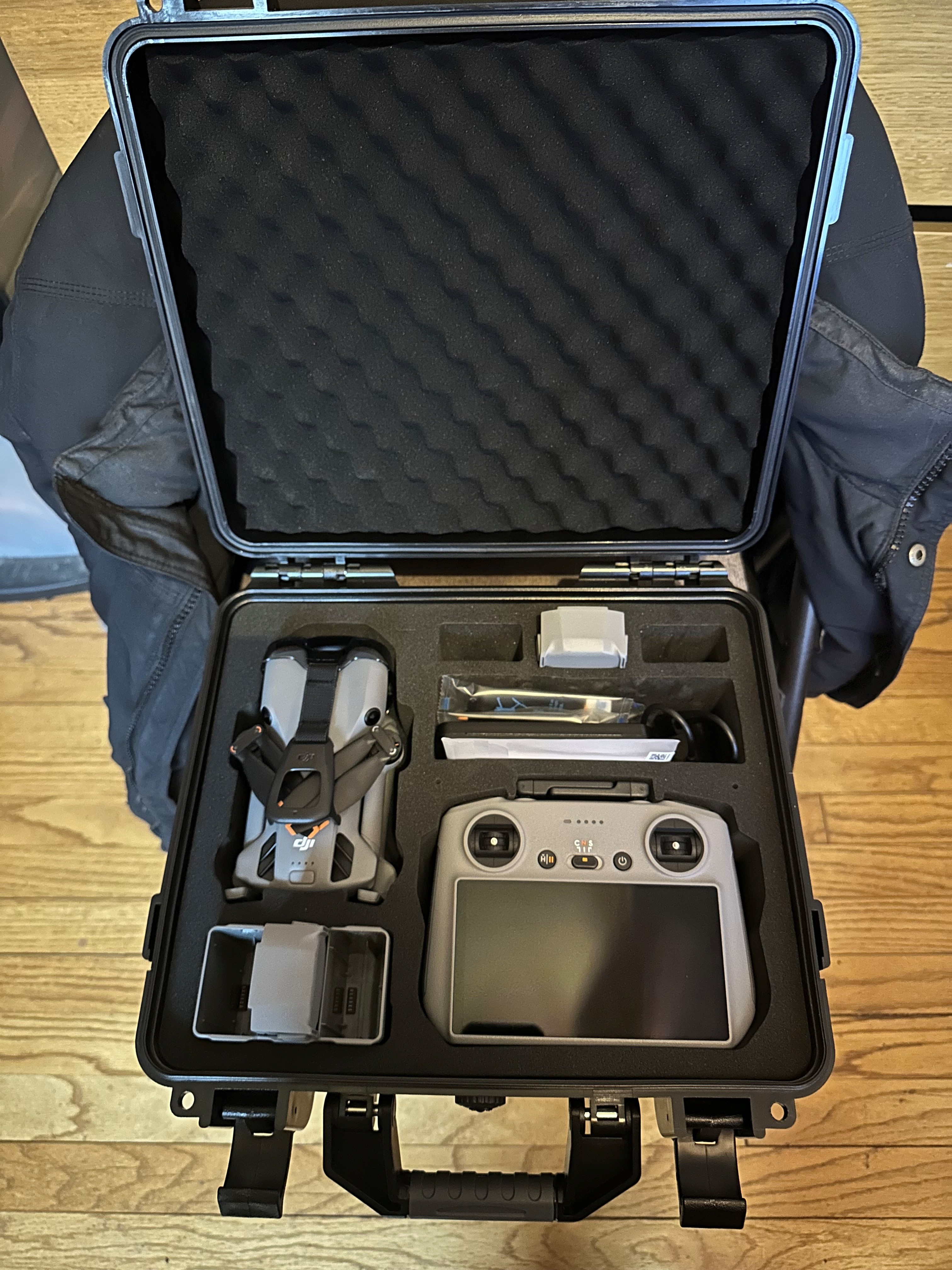
Our professional aerial platform is operational and ready for site work. Paired with Titan Tech Scans’ ground-based scanning capability, RigidAero captures the full spatial picture — aerial and terrestrial — and delivers processed intelligence, not raw files.

Platform Specifications
Sub-250 g
No FAA registration required for recreational use
51 min
Flight endurance per battery · 3 batteries on site for continuous ops
4K / 60fps
Video capture with omnidirectional obstacle avoidance
Liam Kavanagh leads aerial operations and is pursuing FAA Part 107 commercial certification. All flights operate within current FAA guidelines. Commercial certification expands the operational envelope for paid engagements.
Aerial survey platform in transport case
Aerial platform — transport-ready field kit
Aerial platform detail
Sub-250 g, 51-minute endurance, 4K/60fps capture

Aerial Site Survey

Contact for Pricing

High-resolution aerial capture processed into orthomosaic maps and georeferenced 3D models. Construction sites, agricultural land, property documentation, municipal planning.

Photogrammetry & 3D Mapping

Contact for Pricing

Aerial imagery converted into dense point clouds and textured 3D mesh models. Measurable. Exportable. Ready to load into engineering software or store in RigidVault.

Aerial Inspection

Contact for Pricing

Rooftops, towers, facades, and infrastructure that are difficult or dangerous to access by foot. High-resolution imagery for condition assessment, repair planning, and documentation.

Progress Documentation

Contact for Pricing

Repeatable aerial captures at defined intervals. Construction progress, site development, landscape change over time. Before-and-after comparison with timestamped records.

Heritage Aerial Documentation

Contact for Pricing

Aerial capture of historic structures, estates, and sites paired with Titan Tech Scans ground-level scan work. Complete exterior and interior spatial record. Sovereign storage in RigidVault.

Property & Land Documentation

Contact for Pricing

Accurate aerial documentation of parcels, boundaries, outbuildings, and land features. Real estate, estate planning, agricultural management, environmental monitoring.

Pre-Disaster Baseline Scan

Contact for Pricing

Document your facility or property before an incident occurs. Combine aerial and ground scanning for a complete sovereign digital twin. The record that validates every insurance claim.

How You Receive Your Data

Vault It or Deliver It.

Every RigidAero engagement comes in two flavors. You choose how your spatial data lives after capture.

Path A

Vault It

Your scan data is processed and stored directly into RigidVault — your sovereign, Michigan-sovereign digital asset repository. You own every file. Nobody else touches it.

  • Processed point cloud and mesh stored in RigidVault
  • Immutable chain of custody from flight to file
  • Structured metadata: date, location, conditions, operator
  • Accessible from your RigidVault account — not our servers
  • Future-ready for LiDAR and thermal overlay when available
Path B

Deliver It

Processed deliverables handed directly to you. Standard formats that drop into your existing tools — CAD, GIS, project management, or insurance documentation workflows.

  • Georeferenced orthomosaic (GeoTIFF)
  • Dense 3D point cloud (LAS / PLY / OBJ)
  • Textured mesh model for visualization
  • Annotated inspection report with flagged observations
  • Optional: printed hard copy for permit or insurance submission

Both paths can be combined. Many clients vault raw data and receive processed deliverables simultaneously.

Ground + Aerial = Complete

What no single scanner can capture alone.

RigidAero works alongside Titan Tech Scans ground-based scanning to deliver spatial data at every scale — from sub-millimeter object detail to site-wide aerial coverage. No gaps. No hand-waving.

Ground Scan Coverage

Interiors, objects, equipment, components, and architectural detail. Close-range geometry capture at millimeter fidelity. Titan Tech Scans’ bread and butter.

Aerial Coverage

Site-wide overview, rooflines, surrounding context, access-restricted areas, and the terrain that connects everything together. RigidAero’s aperture.

Combined Spatial Record

A single georeferenced spatial dataset at every resolution layer. The complete digital twin — registered, verified, and stored sovereign in RigidVault.

Heritage Sites

Scan the interior objects and carved details at millimeter resolution. Capture the full exterior, roof condition, and site context from above. One engagement, complete record.

Industrial Facilities

Ground scan the machinery, tooling, and production lines. Aerial documentation of the building envelope, roof penetrations, yard layout, and utilities.

Construction Projects

Interior scan progress as walls go up. Aerial documentation of site layout, material staging, and exterior completion. Timestamped record from groundbreak to handover.

Ecosystem Thread

RigidAero doesn’t work alone.

Every aerial capture feeds data forward through the KI platform. No orphaned files. No dead-end exports.

Data flows RigidVault RigidAI RigidForge

Every pillar in the KI ecosystem is interconnected. No product works alone.

View Full Ecosystem Map →
Emergency & Preservation

Before the disaster. After the disaster.

A sovereign digital twin of your property or facility is the most valuable record you’ll never hope to need — until you do.

Emergency Response Scanning

Contact for Pricing

Rapid aerial deployment after fires, storms, floods, or structural events. Compare against pre-disaster baseline. Deliverables formatted for FEMA submissions, insurance claims, and recovery planning.

Pre-Disaster Digital Twins

Contact for Pricing

Scan and document your facility or property before something goes wrong. Aerial and ground combined into a complete sovereign record stored in RigidVault. The baseline that makes every claim airtight.

Historic Preservation

Contact for Pricing

RigidAero captures the structure from above. Titan Tech Scans captures the interiors and carved detail. RigidEngineering performs structural analysis. RigidVault stores the complete immutable record.

Platform Roadmap

Where RigidAero is going.

The aerial platform is operational. These are the capability layers being added next — each feeding richer data into the same sovereign architecture.

Live Now

Photogrammetry & Aerial Survey

High-resolution aerial imagery processed into georeferenced orthomosaics, dense point clouds, and 3D mesh models. Delivered or vaulted.

Live Now

Aerial Inspection

Difficult-access structure documentation. Rooflines, facades, industrial equipment, and infrastructure captured with centimeter-resolution imagery.

Live Now

Ground + Aerial Combined

Titan Tech Scans ground capture paired with RigidAero aerial coverage. Complete spatial record at every scale in a single engagement.

Near Term

FAA Part 107 Commercial Ops

Part 107 certification course enrolled — commercial aerial operations commence upon certification. Unlocks unrestricted BVLOS and controlled airspace work. Airborne operations accepting bookings now.

Near Term

Automated RigidVault Pipeline

Direct integration between aerial capture and RigidVault storage. Flight data auto-ingested with structured metadata, chain of custody, and sovereign access control.

Near Term

RigidForge Design Integration

Aerial and ground scan geometry fed directly into RigidForge as large-scale design input for renovation, expansion, and engineering projects.

Future

Drone LiDAR Precision Mapping

Centimeter-accurate point cloud capture at altitude. Building envelope, terrain, and infrastructure at engineering-grade precision. Same sovereign pipeline.

Future

Thermal Imaging Inspection

Roof moisture, building envelope leakage, electrical panel hot spots, and HVAC performance. Aerial thermal overlay registered to the visible-light model.

Future

Underwater ROV Survey

Marine, bridge piling, dam structure, and subsurface infrastructure digitization. Sonar and photogrammetry from below the waterline fed into the same RigidVault architecture.

Who We Serve

RigidAero works for anyone with a site that matters.

Property Owners

Residential, commercial, agricultural. Document your land, structures, and improvements. Build the record before you need it for a claim, sale, or dispute.

Contractors & Builders

Progress documentation at every phase. Pre-pour concrete verification. Roofing and exterior condition at handover. Visual proof for every milestone.

Heritage & Preservation

Historic structures, estates, and sites that deserve a permanent record. Pair aerial documentation with ground-level Titan Tech Scans capture for a complete digital legacy.

Industrial & Defense

Facility surveys, security perimeter documentation, and infrastructure baselines. Sovereign storage, chain of custody, and CMMC-aligned data handling for sensitive sites.

Transparent Pricing

What aerial and ground scanning costs.

All projects are fixed-scope. You get a written quote before any work begins. No hourly surprises.

Heritage Object Scan
From $150

Figurines, trophies, antiques, awards. OBJ + STL delivery. Color texture available. 3-5 business days.

Industrial Part Scan
From $300

Machined parts, castings, assemblies. STEP + point cloud. Inspection report available. 3-5 business days.

Scan-to-Drawing
From $900

Physical part to SOLIDWORKS model to dimensioned engineering drawing. PDF + native file. 5-8 business days.

Aerial Site Survey
Contact for Quote

Property mapping, construction documentation, facility inspection. Priced by site size and deliverable scope.

Reverse Engineering
From $750

Scan + SOLIDWORKS model + dimensioned drawing + GD&T. Full reverse engineering package. NDA standard.

On-Site Scanning
Contact for Quote

Large or immovable parts and equipment. We come to you in Macomb, Oakland, and Wayne counties.

Related Pages
Aerial Scanning — Macomb County

The platform is airborne. Ready to scope your project?

Aerial survey, photogrammetry, inspection, or heritage documentation — let’s talk about what your site needs.

Get in Touch →
Part of RigidScan — our scanning services pillar →
R

RigidAI

Kavanagh Industries · Always on